
ICT Programme
GIS and Digital Mapping
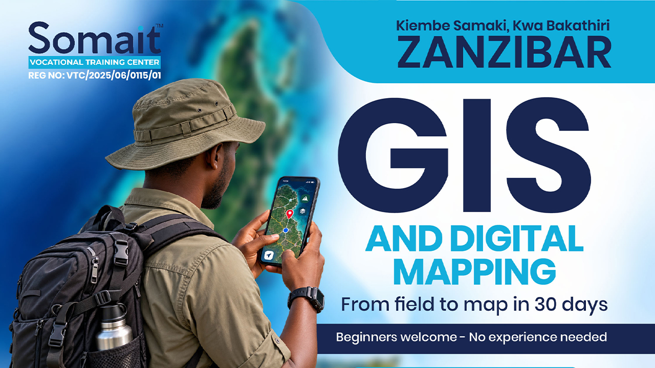
A one-month, hands-on short course that takes someone who has never opened mapping software and brings them to the point where they can collect location data in the field, build a map from it, analyse what the map shows, and publish it as both a printed map and a shareable web link.
Duration
1 months
Fee
TZS 200,000
Mode
In-person
Ready to enrol?
Apply for this programme
Limited intake. Apply online in under 10 minutes.
Start application Talk to admissions →What you'll learn
A one-month, hands-on short course that takes someone who has never opened mapping software and brings them to the point where they can collect location data in the field, build a map from it, analyse what the map shows, and publish it as both a printed map and a shareable web link.
What you'll be able to do
- Understand coordinates, layers, and the difference between vector and raster data
- Load open imagery and OpenStreetMap data for anywhere in Tanzania
- Create map data by digitising from imagery
- Design a mobile form and collect real field data with GPS and photographs
- Join spreadsheet records to map features
- Answer spatial questions — what is near what, what falls inside what, how far, how many
- Produce a professional printed map with legend, scale and north arrow
- Publish a web map and share it by link
- Explain in writing what the map shows and what should be done about it
Who this is for
- School-leavers looking for practical ICT skills.
- Working professionals upskilling for digital roles.
- Entrepreneurs building digital businesses.